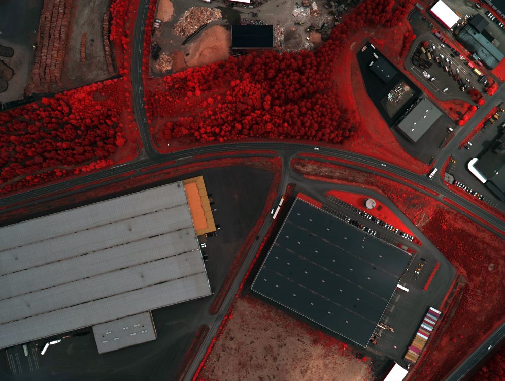
RGB+NIR
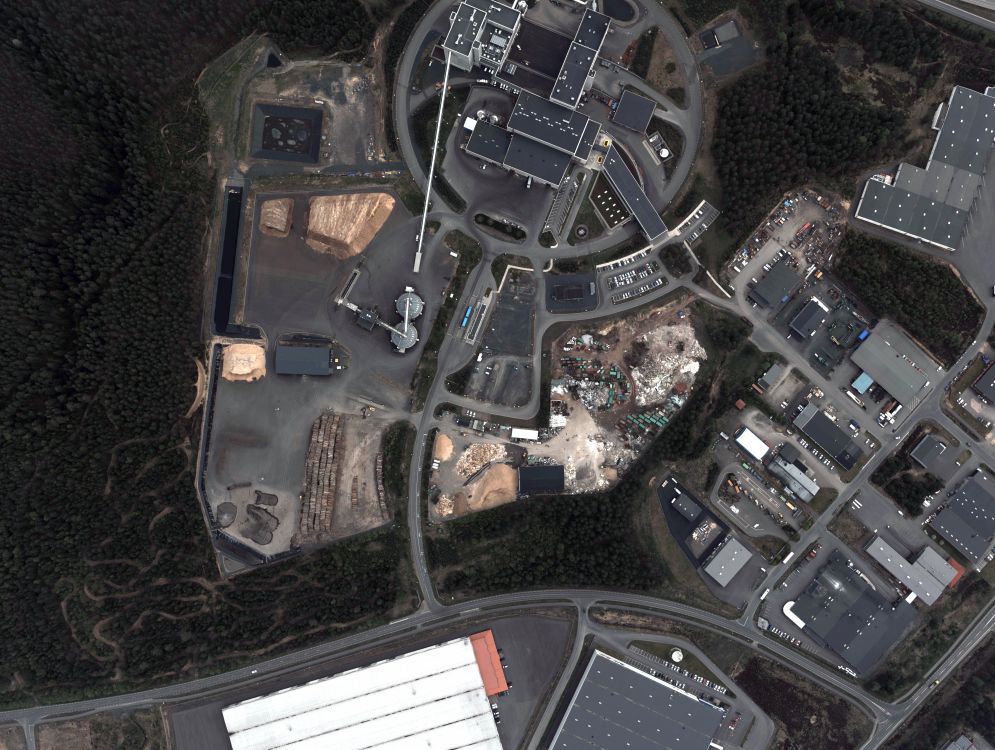
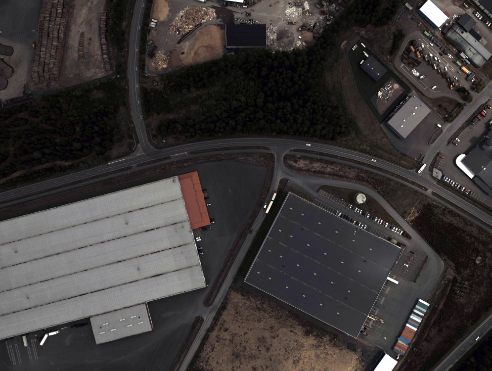
Rapidly changing surroundings have stimulated an awareness of the importance of an accurate, up-to-date understanding of the environment, and the resources that occupy it. RPAS Tech creates valuable digital orthoimagery products for the geospatial industry through innovative software techniques, rigorous production processes, and comprehensive quality control measures.
RPAS Tech owns and operates multiple digital acquisition assets customized for the unique collection requirements of cameras and sensors. Offering a variety of systems to collect aerial imagery, RPAS Tech has the capability to capture and process data to serve almost any mapping need.