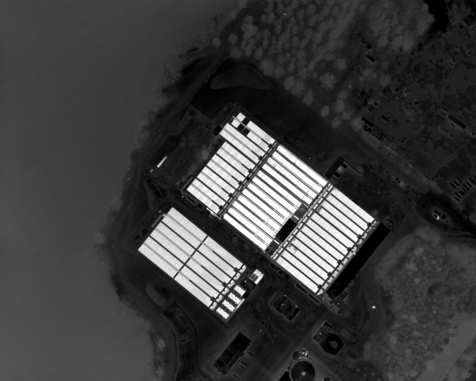
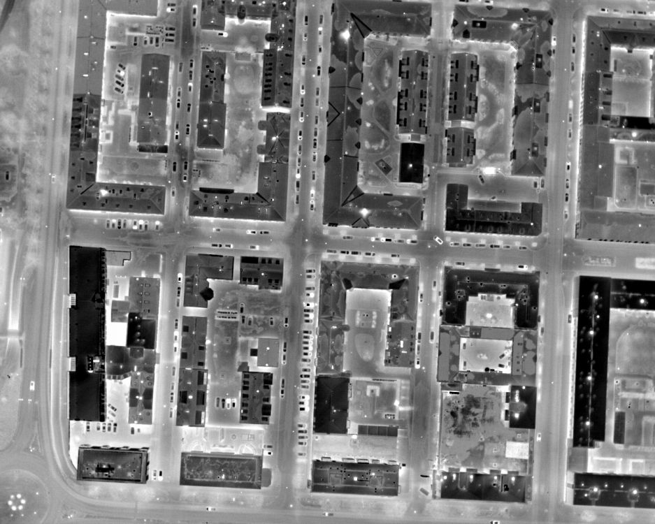
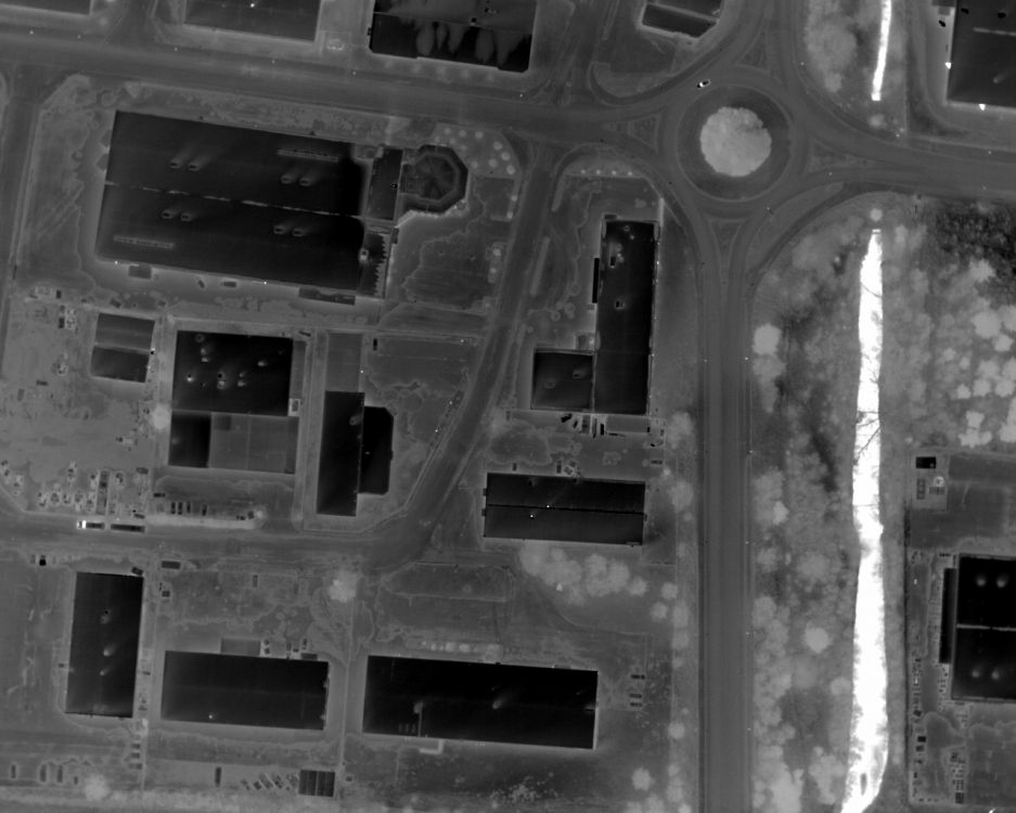
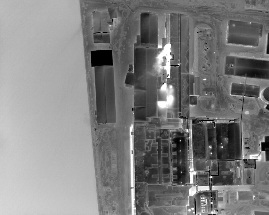
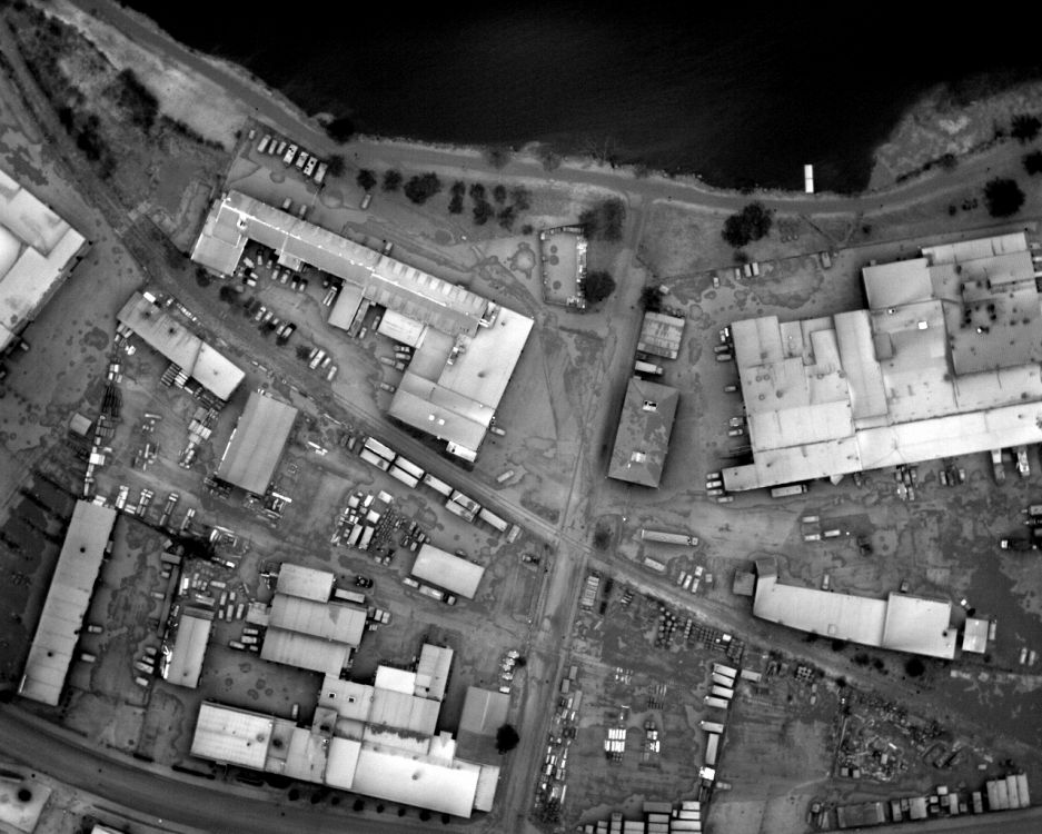
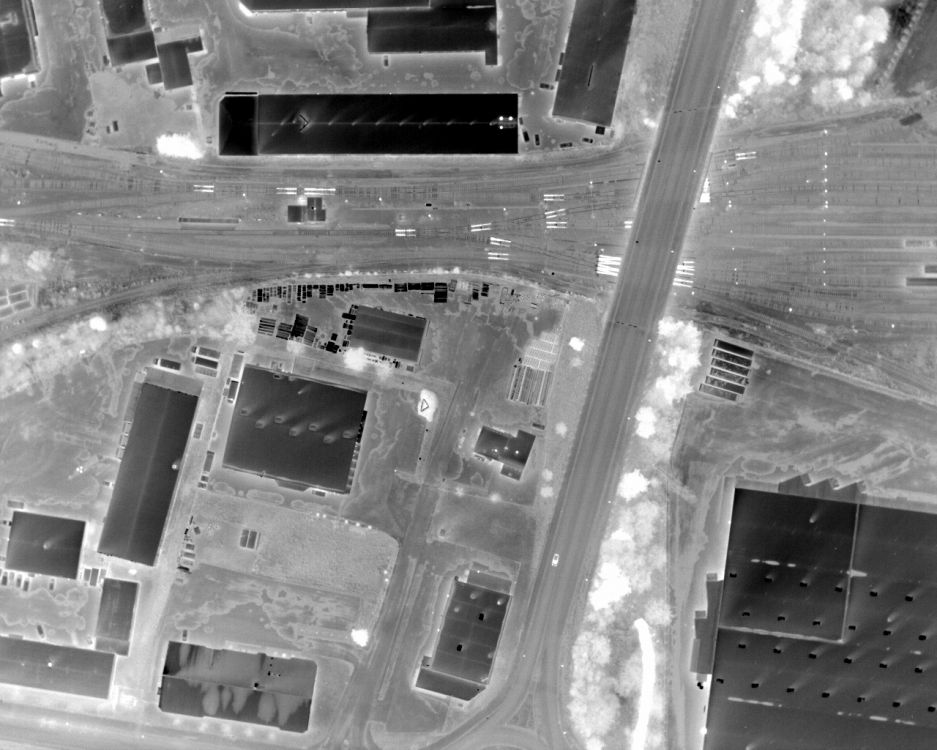
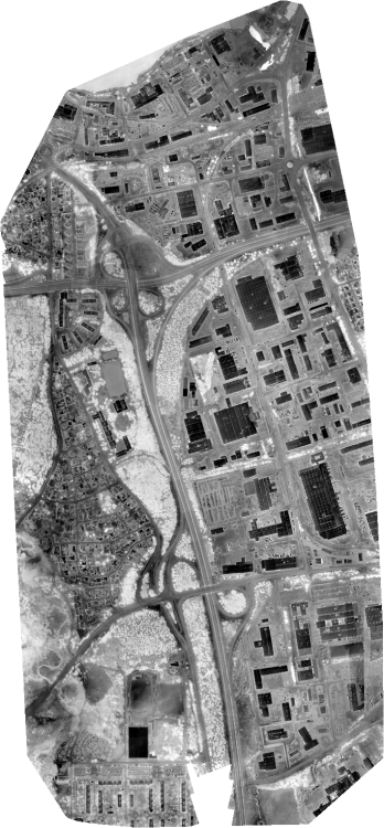
Thermal mapping
Its efficient to locate lost people and count animals when using an airborne thermal camera.
RPAS Tech provides both manned and unmanned airborne solutions.
Measurements are made with an advanced infrared camera that gives sharp image at a large distance even with substantial air speed. It provides, in addition to excellent visual image quality, temperature values with good accuracy, which facilitates the subsequent automatic analysis.
Periodical comparisons from different flights where trends can be detected is also possible!